
View the Murillo Velarde Map at the NLP Gallery for Free
Proof of our territorial rights lies in a 300-year-old map.
(SPOT.ph) Did you know that one of the most powerful pieces of evidence that helped in our fight for sovereignty is a nearly 300-year-old map?
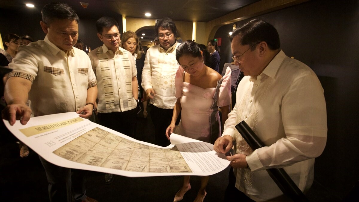
The 1734 Murillo Velarde Map was instrumental in the Philippines’ successful arbitration case against China in 2016, which led to the invalidation of China's nine-dash line claim (now a ten-dash line in its most recent map). Now it is available for public viewing, free of charge, at the National Library of the Philippines’ newly opened Permanent Gallery in Ermita, Manila.


“This large-format map (1120mm x 1200mm) shows the entire Philippine archipelago. It is flanked by two pasted-on side panels with twelve engravings. The shoal ‘Panacot,’ now known as Bajo de Masinloc or Scarborough Shoal, and the islands of the Spratlys, which are referred to as ‘Los Bajos de Paragua,’ are shown in the map as part of the Philippines,” the museum note reads.

The official date for the gallery's public opening has yet to be announced, but we were told it will be in September.
Also read: The UN Tribunal Ruling on the West Philippine Sea: A Short History
"Mother of All Philippine Maps" at the NLP’s Permanent Gallery
The Murillo Velarde Map is the first scientific representation of the Philippine archipelago. It features meticulous depictions of our islands and territories, including the contested Scarborough Shoal and Spratly Islands. Because of this, it is often referred to as the “Mother of All Philippine Maps.”
The map was created by Spanish Jesuit Friar Pedro Murillo Velarde and drawn by Filipino artisans Francisco Suarez and Nicolas dela Cruz Bagay. In 2012, it was acquired by Filipino entrepreneur and educator Mel Velasco Velarde for P12 million at a Sotheby’s auction in London. He then gifted the map to the National Library to be put on permanent display.

The National Library’s Permanent Gallery also showcases over 80 other significant historical documents. Among the highlights are the original manuscripts of Dr. José Rizal’s Noli Me Tangere and El Filibusterismo, both of which have been recently declared National Cultural Treasures by the library itself.
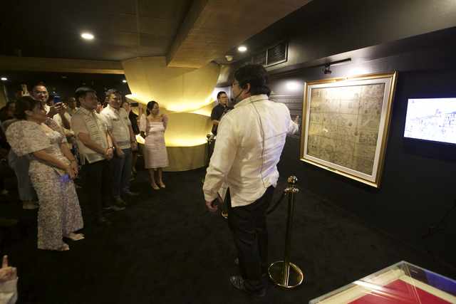
Visitors can also find documents tied to the birth of the Philippine Republic such as the 1898 Declaration of Philippine Independence and a copy of the 1899 Promulgated Constitution of the First Philippine Republic.
Also read: You Can Now Get a Replica of Noli Me Tangere With Jose Rizal’s Editing Notes