

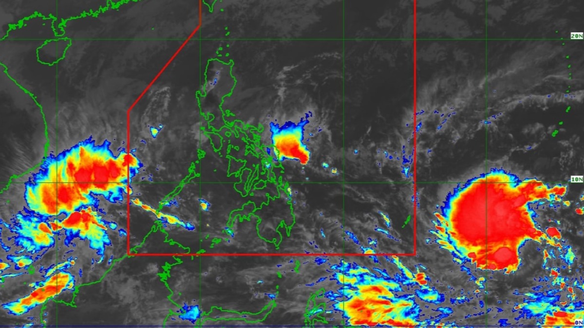
The tropical cyclone that will be named Odette once it enters the Philippines maintained its strength as it moved closer to landfall in the southeast portion of the country later in the week, PAGASA said Monday.
Odette will reach peak intensity of 150 kph winds by Wednesday, before it hits land in the vicinity of Caraga or Eastern Visayas by the afternoon or evening of Thursday, PAGASA said.
Up to Typhoon Wind Signal No. 3 could be raised, PAGASA said, lower than its previous forecast of Signal No. 4 in its Sunday weather bulletin.
At 10 a.m., the storm was located 1,760 km east of Mindanao, PAGASA said. It could enter the Philippine Area of Responsibility by Tuesday.
WEATHER NEWS YOU CAN USE:
How to Keep Safe During a Typhoon
Disaster Alerts, Explained: How to Prepare, When to Evacuate
Odette will bring heavy rains to the Visayas, large parts of Mindanao and some provinces in Southern Luzon as it crosses central Philippines, PAGASA said.
It could also enhance a weather system that could bring rains to the eastern portion of Central Luzon, even if it's not directly on the typhoon's path.
WEATHER EXPLAINED:
Why Does PAGASA Name Typhoons After People?
Why Strong Typhoons Hit the Philippines During Christmas Months