

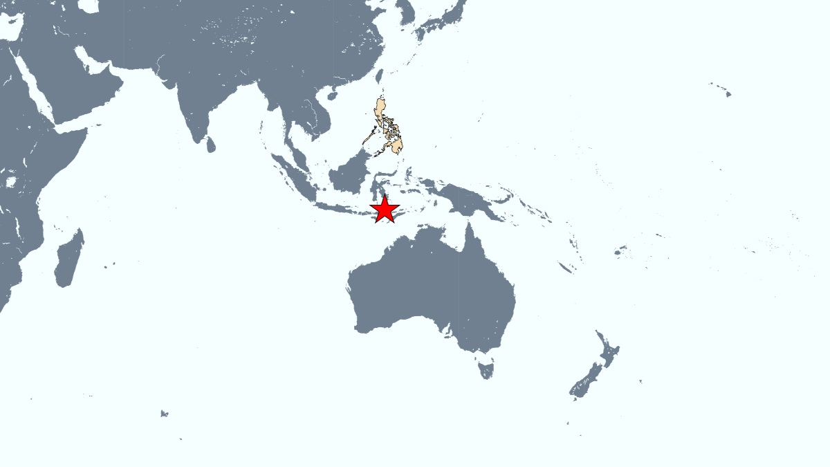
A magnitude 7.6 earthquake struck Indonesia on Tuesday, Phivolcs said, allaying fears of a tsunami threat in the country.
The earthquake struck around 100 kilometers north of the town of Maumere at a depth of 18.5 kilometers in the Flores Sea, the U.S. Geological Survey said. Indonesia is located south of the Philippines main southern island, Mindanao.
"There is no tsunami threat to the Philippines from this earthquake," state volcanologists said. Tsunami waves are possible only for coasts located within 1,000 kilometers of the epicenter, it said.

The USGS said the chance of casualties was low, while noting that "recent earthquakes in this area have caused secondary hazards such as tsunamis and landslides that might have contributed to losses."
Indonesia experiences frequent quakes and volcanic eruptions due to its position on the Pacific "Ring of Fire", an arc of intense seismic activity where tectonic plates collide that stretches from Japan through Southeast Asia and across the Pacific basin. -- with report from Agence France-Presse