

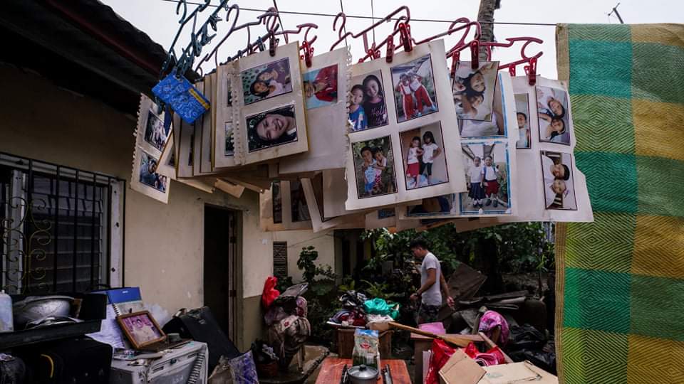
Areas drenched by Super Typhoon Rolly last week should brace for more rains from approaching storm Siony that could spawn floods and landslides, PAGASA said Wednesday.
Siony is moving slowly far north. However, it's trough or tail combined with winds blowing from the northeast could bring light to moderate with at times heavy rains over Aurora, Quezon, Camarines Norte, Camarines Sur and Catanduanes -- provinces that bore the brunt of Rolly, PAGASA said.
STAY SAFE DURING TYPHOONS: Here's Your Typhoon Safety Guide
UNDERSTAND DISASTER ALERTS: How to Prepare, When to Evacuate
Light to moderate to at times heavy rains are also expected over Cagayan and Isabela in northeast Luzon. Siony is a weaker storm compared to Rolly, packing maximum systained winds of 85 kph with 105 kph gusts. At 4 a.m. Wednesday, it was located 700 km east of Basco, Batanes, the weather bureau said.
Slow-moving Siony could make landfall between the Batanes and Babuyan islands late Thursday to early Friday, it said.
MORE ON TYPHOONS:
What Makes a Super Typhoon? The Most Powerful of Storms Explained
Why Does PAGASA Name Typhoons After People?
Siony is on the other end of Luzon relative to areas hit by Rolly, however the rains it would bring would add to inundation from typhoons and storms in the last couple of weeks, PAGASA said. Before Rolly, there was Pepito and Quinta.
Wind signal no. 1 (30-60 kph in the next 36 hours) was raised over the northeastern portion of mainland Cagayan and the eastern portion of Babuyan Islands.