

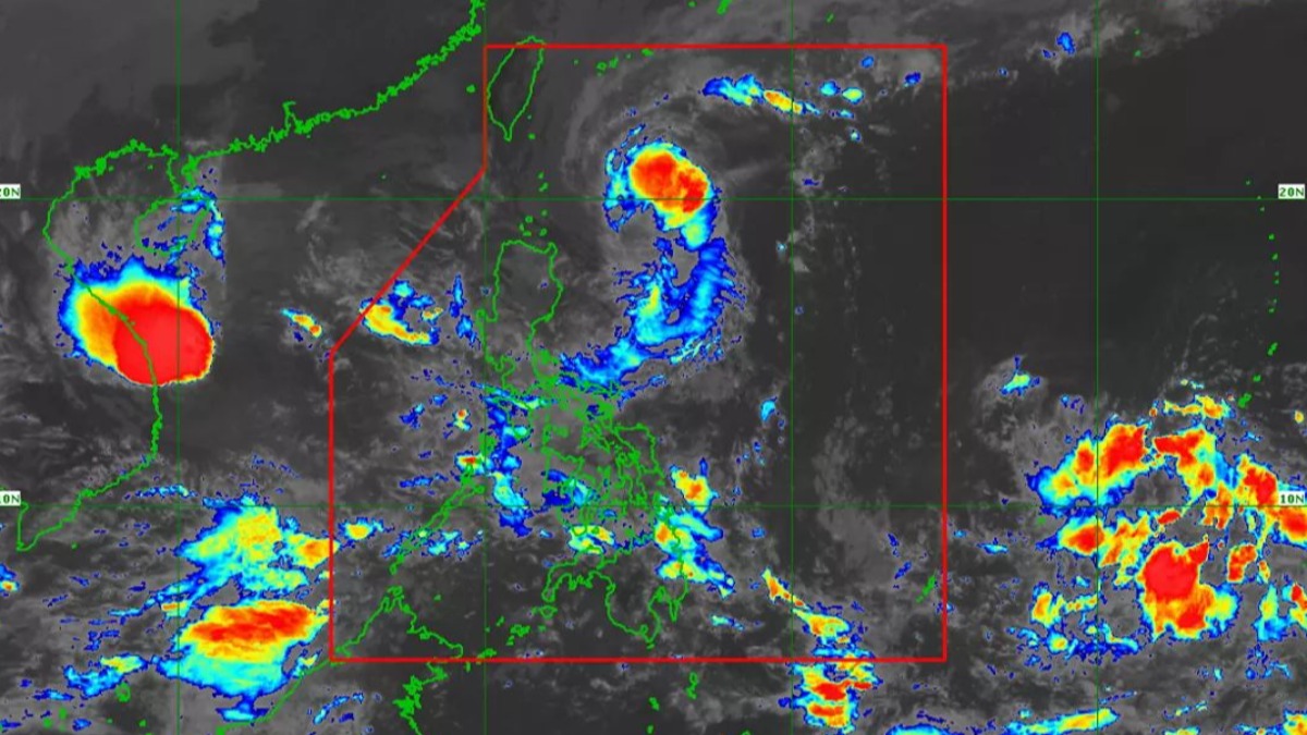
Wind signals were raised in Northern Luzon as millions were told to prepare of Tropical Storm Siony, which could hit land late Thursday or early Friday. It will come barely a week after Super Typhoon Rolly.
Siony (international name: Astani) was packing maximum sustained winds of 95 kph with 115 kph gusts and was on course to hit the Batanes and Babuyan islands off Luzon's northern tip, PAGASA forecaster Chris Perez said.
ALSO READ:
Here's Your Typhoon Safety Guide
Why Does PAGASA Name Typhoons After People?
Decoding Disaster Alerts: How to Prepare, When to Evacuate
Wind signal no. 2 was raised over Batanes and Babuyan, where winds of 61 kph to 120 kph could bring down electric posts and houses made from light materials, Perez said.
Signal no. 1, which means winds of 30 kph to 60 kph, was raised over the northern portion of mainland Cagayan (Santa Ana, Gonzaga, Lal-Lo, Allacapan, Santa Teresita, Buguey, Camalaniugan, Aparri, Ballesteros, Abulug, Pamplona, Sanchez-Mira, Claveria, Santa Praxedes), the northern portion of Apayao (Santa Marcela, Luna, Calanasan), and the northern portion of Ilocos Norte (Adams, Pagudpud, Bangui, Dumalneg, Burgos, Vintar, Pasuquin, Bacarra)
There's also the threat of light to moderate to at times heavy rains over areas inundated by Rolly, according to PAGASA. These include: Pangasinan and most parts of Central Luzon, Metro Manila, CALABARZON, MIMAROPA, Bicol Region, Visayas, and Mindanao.